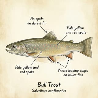
No verified Track Creek-specific reusable water image was found for this Westfall watershed creek. Add only after confirming an exact source/title and licence.
Regulations
Confirm the current Region 4 table before any field plan. No individual Track Creek exception was found in this pass; treat it as Duncan Lake / Upper Duncan tributary context with bull trout release unless official sources say otherwise .
Key points
Identity: NRCan lists this Kootenay Land District Track Creek at 50.786667, -117.250278; the name repeats elsewhere in B.C., so use this coordinate .
Fish signal: the local model carries inferred Upper Duncan sportfish context, but the named-line extraction found zero direct observations on Track Creek .
Access context: non-official road notes and map context place Track Creek near the Westfall FSR corridor, but access must be rechecked because Westfall upper-road deactivation is part of the monitoring story .
Best flies: no creek-specific recommendation from current evidence.
Guides: no Track Creek-specific fishing-guide coverage found.
Health & stewardship
Access does not equal fishery: a road crossing is useful orientation, not proof of fishable water. Confirm fish, barriers and current road status before field use.
Open questions
Confirm whether lower Track Creek is fish-bearing, whether FSR access is open, and whether any closure or caribou protection measure applies.